


Emsland Touristik Apk 1.9.13
Travel
1.9.13
Update Time:June 6, 2025
Downloadapk
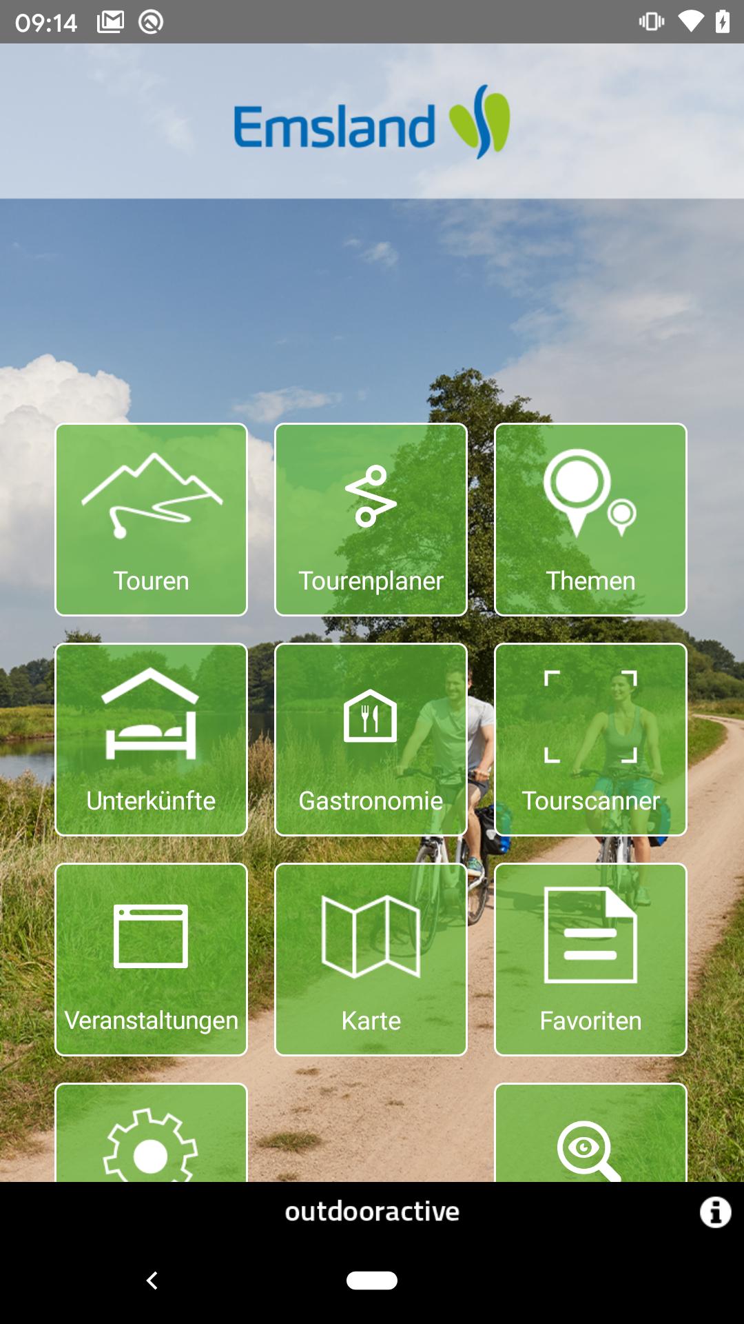
The Perfect App For A Holiday in the Ems!
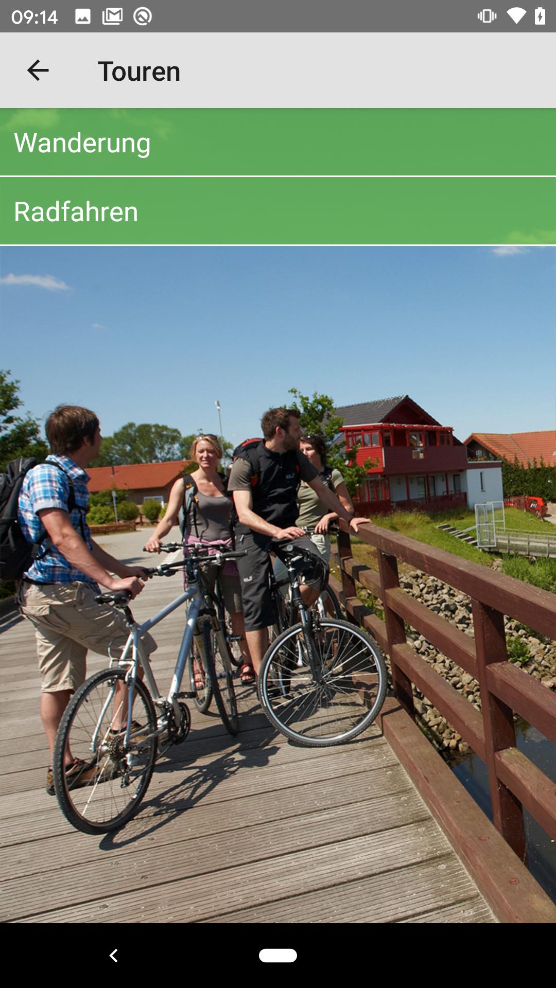
Emsland cycling and hiking, riding and paddling, exciting cultural history and technical skills are amazed-the high-contrast holiday region in northern Germany offers active holidaymakers, families and groups an individual travel experience.
This app is an ideal support for personal tour planning from home and as a guide on site. Find great tour tips and discover extraordinary sights in the region's holiday resorts.
The basis of the Emsland app forms a zoomable, topographical outdoor card in 1: 25,000 scale.
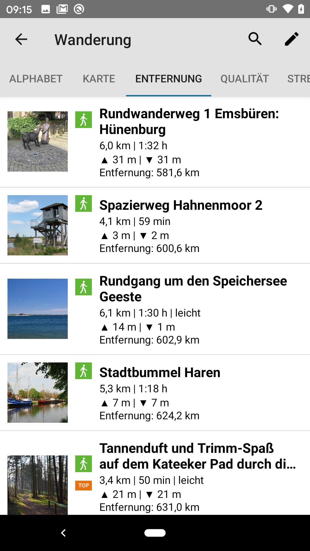
The card is available online and offline, can be downloaded and saved tours are always available. All tours are described in detail with length, duration, level of difficulty and illustrated with many pictures. Interesting sights on the tours can be found as interactive and clickable symbols on the map. On the way, you can use the GPS signal to determine your position on the online available holiday card. So you know exactly where you are in the Emsland.
The Emsland app offers other comfort functions.
So you can have the sights on your location listed and simply keep the camera on a church, monument etc. and you will receive more information.
The card on which the app is based contains the entire, officially recorded path of paths and its position. You also have the option of planning, saving and recalling your tours individually.
The most important content and features in detail:
Tour tips with:
-Key facts (length, vertical meter, duration, difficulty)
-Exercise description
-In
-Evere tips
Real zoom -capable topographic map with high lines for the Emsland with the entire, officially recorded path of trails:
-with position display
-Spanic zoombar (up to the scale 1: 25000)
-Blatt cut -free can be used over the entire area
And the app can do much more:
-all touring courses are displayed on the map
-Exacts Display of the height and the geographical coordinates (GPS)
-all tours can be sorted by alphabet, difficulty and distance to the location
-On request, the journey or the footpath can be calculated with Google Maps to the starting point of the tour
-Offline storage
-Clace function
-Gastronomy and leisure tips
-Inbungs
-Facebook with current tips and events